 sales@uslandgrid.com
 Phone : 877-870-8872
Toggle Nav


$3,000.00
In stock
SKU
sd_grid_0
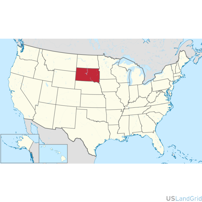
STATE: SOUTH DAKOTA
SOURCE: Bureau of Land Management, USGS
DELIVERED PROJECTION(S): Geographic (GCS) NAD27 Datum, Geographic (GCS) NAD83 Datum
FILES: Sections layer, Townships layer and County layer