Technical well data helps companies manage and analyze current situation, while also helping them find new opportunities. From permitting, to acquisition, to use, our well data represents the life cycle of the asset.
USLandGrid Well Data is founded on the PPDM (Professional Petroleum Data Management) data model in order to support the best practice needs of operators around the globe.
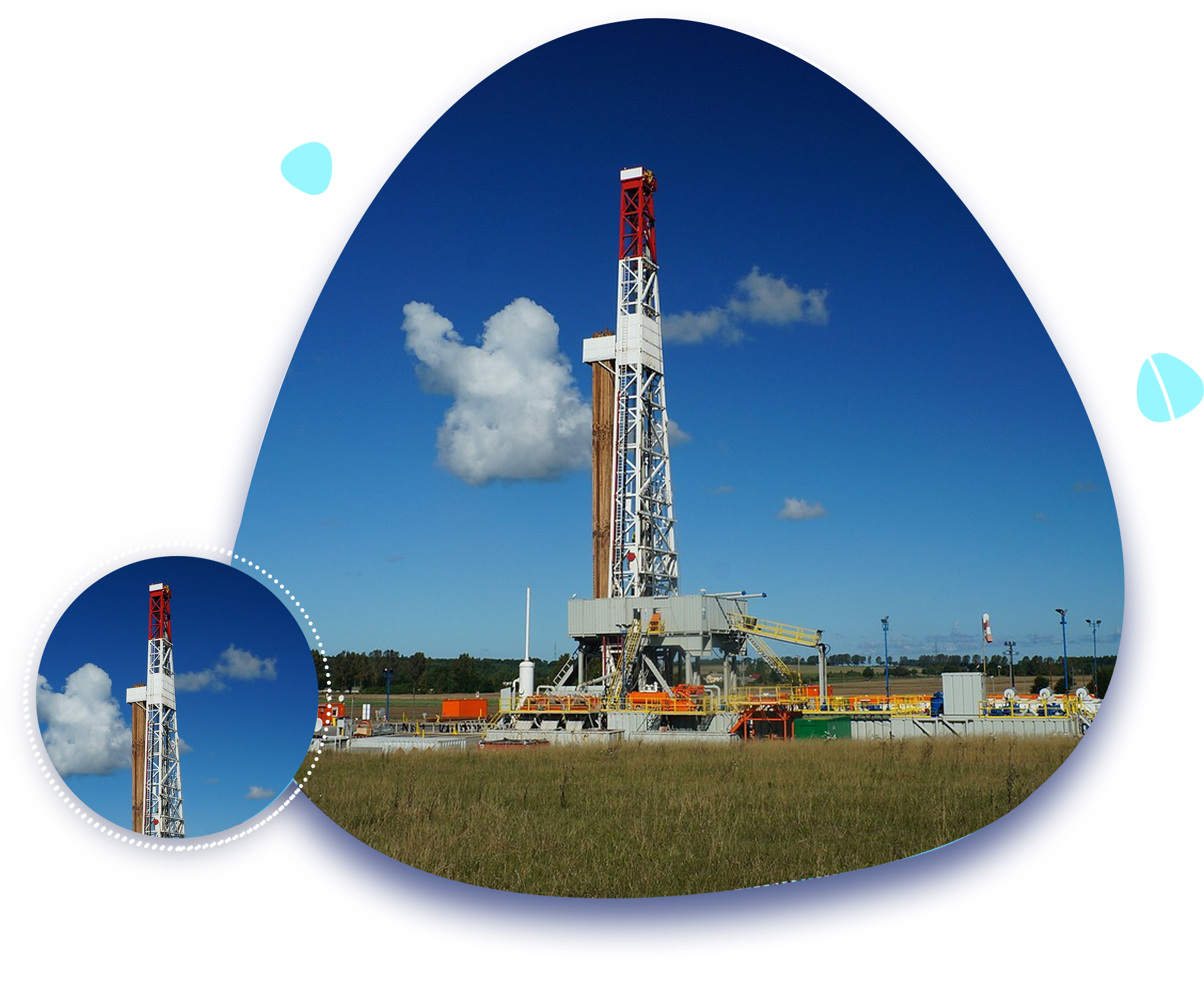
What Do We Offer?
We are a GIS data mapping company that provides current and historic well data including permits, units, well headers, formation tops, perforations, casings, completions, surveys, initial potentials, dsts, historic production and monthly production.
Allocated production is calculated within our data based on the individual wells contributing to the reported aggregate lease production.
Sidetracks and recompletes are fully accounted for through our standardized 14 digit API system. The sidetrack code is the eleventh and twelfth digits of our API numbers, with the first sidetrack represented by 01. The recomplete code is the thirteenth and fourteenth digits of our API number.
Our well data is purchased, not leased. You will never need to remove our data from your maps (you own it). Pricing is per year or a twelve-month period. Updates are provided monthly during the year.
Buy the county, or the state. Our Well Data packages are designed to meet all needs and budgets.
Why Does Well Data Matter?
The best thing about well data is that it is current and historical. By analyzing a well life cycle the user is able to see the original permit, through to those first perforations and initial production. We can see what formation(s) was targeted and the depths and trajectory of the well bore. In most cases, we can see what went right, what went wrong, and what changes were made along the way.
These days, analytics are one of the most important capabilities for individuals to make informed decisions, especially in the energy sector. With data volumes becoming exceedingly larger, good data, and good data management is critical for quick access to accurate information.
By having up-to-date and historical well data companies can track industry trends, reduce drilling times, improve production, manage land assets, look at new opportunities, and improve safety.
COVERAGE MAP
Well Header Schema:
Name
DESCRIPTION
Well ID
Unique Well identification
Operator
Operator Name
Well Name
Well Name
Well Number
Well Number
Latitude
Latitude
Longitude
Longitude
Status
Well Status
Classification
Well Classification
Datum Elevation
Datum Elevation
Ground Elevation
Ground Elevation
Plugback Depth
Plugback Depth
TD
Total Depth
Formation at TD
Formation at Total Depth
Platform ID
Platform identification
Water Depth
Water Depth
Water Datum
Water Datum
Spud Date
Spud Date
Completion Date
Completion Date
Permit Date
Permit Date
User Date
User entered date
Name
DESCRIPTION
Area
Area of Interest
District
District Name
Field
Field Name
State
State Name
County
County Name
Country
Country Name
Permit Number
Permit Number
Datum Type
Datum Type
Alternate ID
User Alternate ID
Old ID
Old identification
User 1
User 1 Added information
User 2
User 2 Added information
Lease Name
Lease Name
Parent UWI
Identification number for the original well. This field is used if the well data is for a successive well at a previously drilled location
Parent UWI Type
Acceptable values are Re-drill, Re-entry, Sidetrack, and Surface
Legal Survey Type
Legal Survey Type
Common Well Name
Common Well Name
Proposed
Identifies proposed, undrilled wells
Proposed
Identifies proposed, undrilled wells
Formations Schema:
Name
DESCRIPTION
Well ID
Unique Well identification
Formation
Formation Name
Source
Original Source
Observation Number
Observed Instance
Top MD
Measured depth of the formation top
Top TVD
True vertical depth of the formation top
Base MD
Measured depth of the formation base
Base TVD
True vertical depth of the formation base
Show
Type of hydrocarbon shows (if any) in the formation at the well bore
Net Thickness
Net thickness of the formation at the well location
Porosity
Porosity of the formation in the well bore
Faulted
Presence or absence of faulting in the formation at the well bore
Name
DESCRIPTION
Eroded
Partial or complete erosion of the formation at the well bore
Dip Azimuth
Direction of maximum formation dip at the well bore. Allows quadrant format (N30W), but must be in azimuth format for import.
Dip
Dip of the formation at the well bore. Allows quadrant format (N30W), but must be in azimuth format for import
Confidence
Qualitative evaluation of the formation data
Qualifier
Comments
Remarks
Comments
Gap Thickness
Gap Thickness
Datum Type
Datum Type
Fault Name
Fault Name
Unconformity Name
Unconformity Name
Monthly Production Schema:
Name
DESCRIPTION
Well ID
Unique Well identification
Zone
Producing zone or formation
Activity Type
Oil
Monthly Oil
Gas
Monthly Gas
Water
Monthly Water
CO2
Monthly CO2
Name
DESCRIPTION
Injection
Monthly Injection
Nitrogen
Monthly Nitrogen
NGL
Monthly NGL
Sulphur
Date
Date Recorded
Allocation Factor
Amount of unit production allocated to the well as a percentage
Days On
Specified as an integer from 1 to 31
Wells & Production FAQ
Where does your well data come from?
We source our well data directly from the individual state resources including online published data, hard copy completion reports, hard copy production records and multiple other sources.
How do you standardize well data generally?
We use the PPDM (Professional Petroleum Data Management) model. By standardizing across the different well databases, we make the data much easier to work with, combine with other data, and analyze. We also standardize the values in columns, while also getting rid of null values and duplicates. We convert the data in our system to the standardized PPDM schema, with consistency across the dataset.
How do you deliver bulk data?
All bulk data is provided via SFTP as zip files of each county in the format of your choice using a pull model. End delivery is customizable with no extra costs.
How do I download your well data?
We use the “Secure File Transfer Protocol”, also called SFTP. This is supported in most traditional FTP clients and SSH client software.
When was your well data last updated?
Our well data is refreshed monthly.
What software can I use to work with your data?
Editing or working with most of our data requires software for working with geographic and geospatial data. There is free and open-source desktop software to work this kind of data called QGIS. We recommend GeoGraphix as our preferred software for well data.
What about Google Earth?
We provide KML/KMZ options for Google Earth and Google Earth Pro, but neither of those applications support editing our data, only viewing the data. If you need to make changes to the data you get from us, you will need a desktop application like QGIS discussed above.
How large is dataset?
The initial dataset will be large, upwards of 5GBs. Monthly updates are small and take relatively small amounts of time.
600 17th Street, Suite 2800 South, Denver, Colorado 80202
 sales@uslandgrid.com
 Phone : 877-870-8872
 www.uslandgrid.com