 sales@uslandgrid.com
 Phone : 877-870-8872


Infrastructure mapping isn't just about tracing lines and plotting points on a map. It's a fundamental group of layers that shapes the planning, building, and maintenance of the spaces we live in. It "bridges" the gap between theoretical planning and real world execution, ensuring developments are sustainable, efficient, and aligned with human and environmental needs.
You can now dive into a world of detail with our extensive infrastructure information, encompassing everything from roads, rivers and bridges to transmission lines, pipelines, wind turbines, power plants, and boundaries. Our data doesn't just skim the surface; it provides a deep dive into the geographical tapestry of your location.
Simplifying the complexity of land mapping, our detailed infrastructure data, paired with our Land Grid and Land Ownership layers (now enhanced with building footprints), offers an unmatched comprehensive view.


Nationwide oil and gas pipeline coverage that includes pipeline name and owner.
Detailed transmission line coverage that includes owner, type, voltage and more. Power plants with the same detail.
Everything is included from name, capacity, year, model, FAA numbers and much more. Accuracy is spot on.


Primary, secondary, and local roads. 4WD trails, bike paths, and much more updated data.
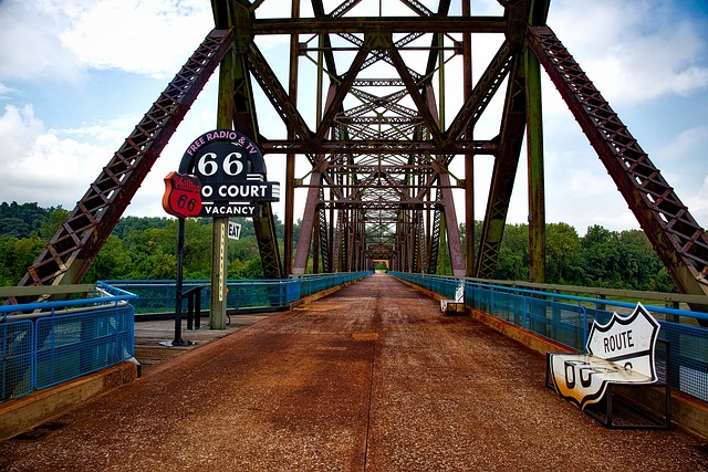
Complex and detailed bridge data with over 50 attributes including year built, rating, type, width, load, and much more.
The most up-top-date rail information available including name and operator. Updated 2024.
Infrastructure Data FAQ
How do you standardize data generally?
The main way we make data much easier to work with is by standardizing the column names of the raw data. We also standardize the values in most columns. We convert the data in our system to a standard table schema, with consistent column names across the nationwide dataset.
When was your land grid last updated?
Each of our Infrastructure data layers are updated yearly Current vintage is 2024. All data is tracked with the date of "DATEUSLG".