sales@uslandgrid.com
 Phone : 877-870-8872
Toggle Nav


QGIS Desktop
|
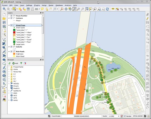
QGIS Desktop Create, edit, visualise, analyse and publish geospatial information on Windows, Mac, Linux, BSD (Android coming soon). QGIS is a user friendly Open Source Geographic Information System (GIS) licensed under the GNU General Public License. QGIS is an official project of the Open Source Geospatial Foundation (OSGeo). It runs on Linux, Unix, Mac OSX, Windows and Android and supports numerous vector, raster, and database formats and functionalities. Open Source, Open Standards QGIS Desktop is licensed under the GNU General Public License. QGIS is an official project of the Open Source Geospatial Foundation (OSGeo). Screenshots of QGIS
|