 sales@uslandgrid.com
 Phone : 877-870-8872
Toggle Nav


$200.00
In stock
SKU
la_wells_34
UPDATED: 2/11/2015
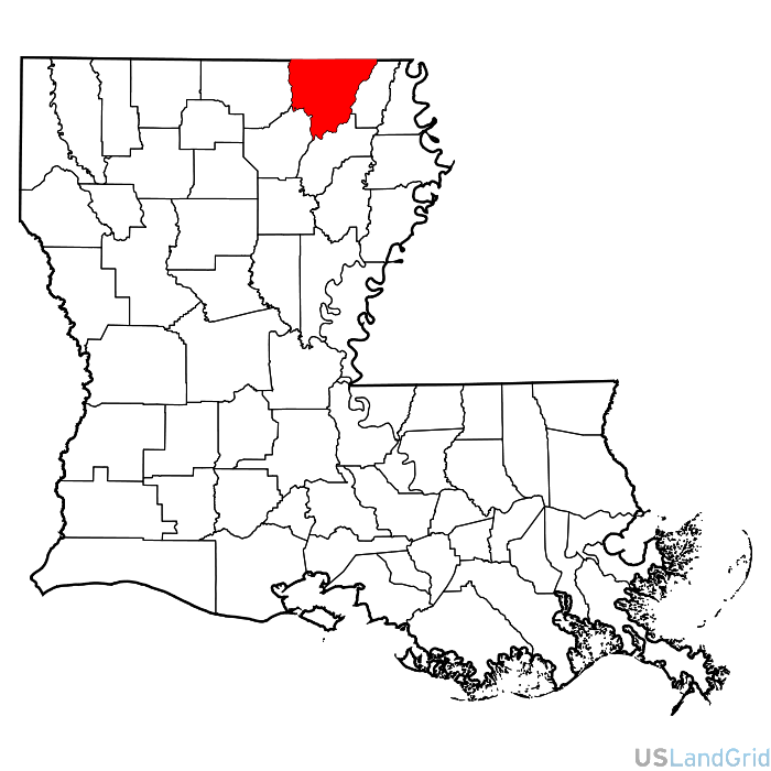
STATE: LOUISIANA
SOURCE: State Oil and Gas Commission
DELIVERED PROJECTION(S): Geographic (GCS) NAD27 Datum, Geographic (GCS) NAD83 Datum
LAYERS: Spot, Header Information and Bottom Holes
ATTRIBUTES: Location, API, Well Name, Operator, Owner, Status, Type, Completion Date, etc.
Morehouse Parish oil and gas well header dataset is being distributed as a county file broken into individual layers. Accuracy is based on the state reported sources and the BLM survey system. The well data is enhanced for use with land grid and culture provided by US Land Grid.
Write Your Own Review