 sales@uslandgrid.com
 Phone : 877-870-8872
Toggle Nav


$3,000.00
In stock
SKU
mi_wells_0
UPDATED: 2/11/2015
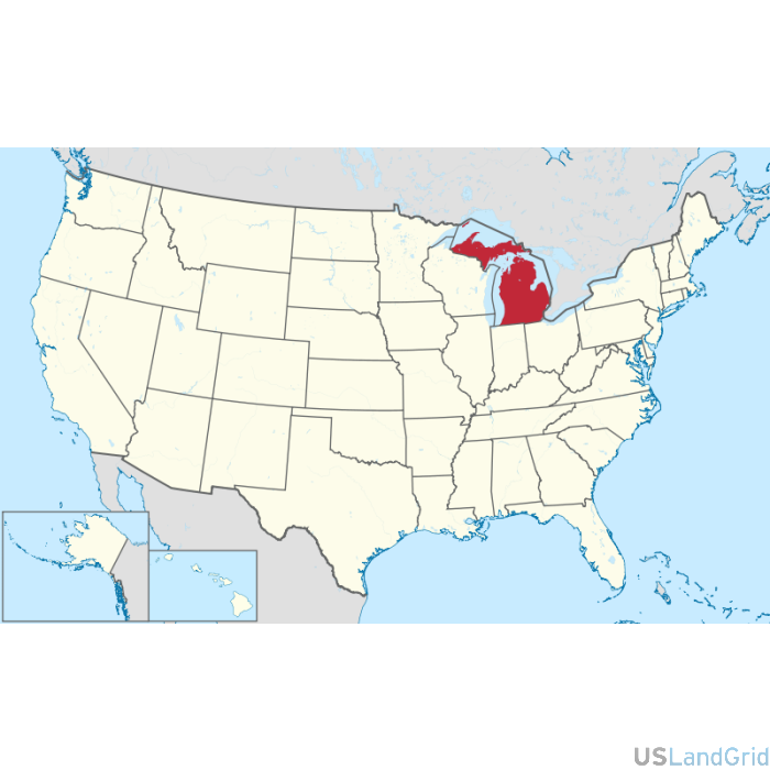
STATE: MICHIGAN
SOURCE: State Oil and Gas Commission
DELIVERED PROJECTION(S): Geographic (GCS) NAD27 Datum, Geographic (GCS) NAD83 Datum
LAYERS: Spot, Header Information, Formation Tops and Bottom Holes
ATTRIBUTES: Location, API, Well Name, Operator, Owner, Status, Type, Completion Date, etc.