 sales@uslandgrid.com
 Phone : 877-870-8872
Toggle Nav


$100.00
In stock
SKU
nv_grid_17
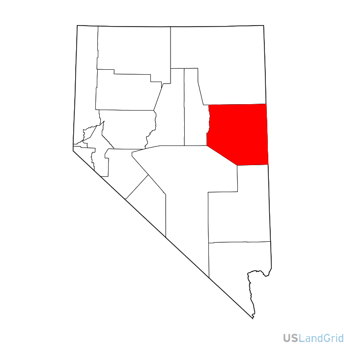
STATE: NEVADA
SOURCE: Bureau of Land Management, USGS
DELIVERED PROJECTION(S): Geographic (GCS) NAD27 Datum, Geographic (GCS) NAD83 Datum
FILES: Sections layer, Townships layer, Lots layer, Quarters layer and Surveys layer