 sales@uslandgrid.com
 Phone : 877-870-8872
Toggle Nav


$0.00
In stock
SKU
tx-sample_1
SAMPLE
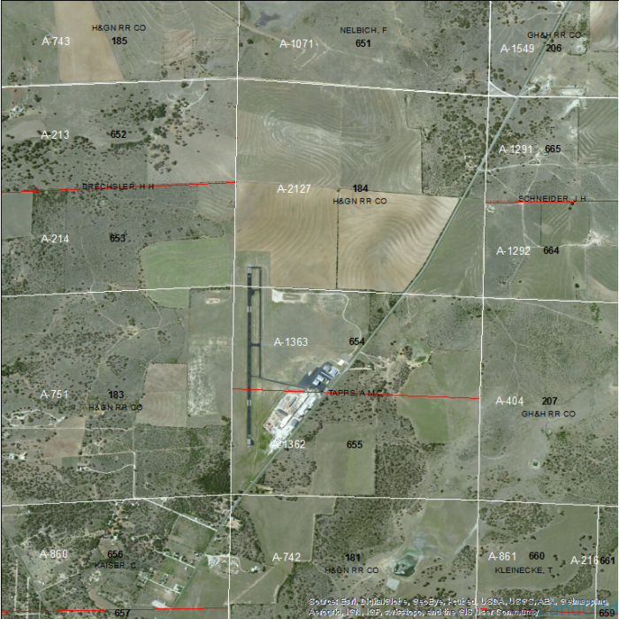
SOURCE: Bureau of Land Management, USGS
DELIVERED PROJECTION(S): Geographic (GCS) NAD83 Datum
FILES: Abstracts layer, Sections layer, Blocks layer, Surveys layer and Sub-Surveys layer