 sales@uslandgrid.com
 Phone : 877-870-8872
Toggle Nav


$0.00
In stock
SKU
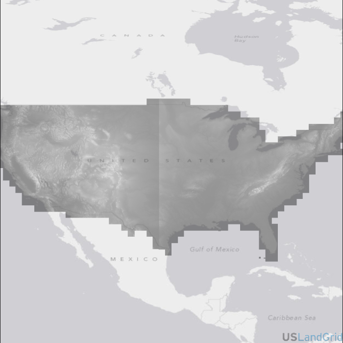
usa-ned
Web Mapping Service
SOURCE:
USGS
DELIVERED PROJECTION(S):
Web Mercator
LAYERS:
National Elevation Dataset layer, National Shaded Relief layer
The NED National Elevation Dataset WMS (Web Mapping Service) is derived mainly from 10 meter to 30 meter high resolution, best quality digital elevation data covering the United States, Puerto Rico, and the Virgin Islands. This is a seamless product updated bimonthly to incorporate the best available Digital Elevation Model (DEM)-a digital representation of cartographic information. NED is available in spatial resolutions of 1 arc-second (roughly 30 meters), 1/3 arc-second (roughly 10 meters), and 1/9 arc-second (roughly 3 meters).
Write Your Own Review