JavaScript seems to be disabled in your browser. For the best experience on our site, be sure to turn on Javascript in your browser.
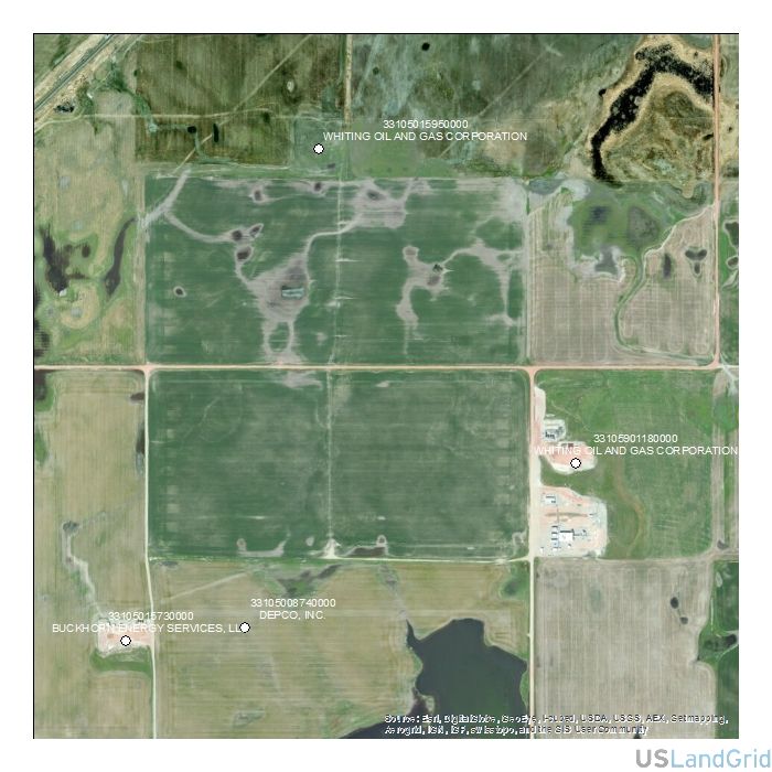
Our oil and gas data includes well headers, formation tops, completion data, survey data, initial IPs, core data, casing information, perforations and monthly production. Multiple formats are available.
Our free data includes boundary files like county boundaries, Texas Rail Road Commission boundaries, nationwide contours and state geology files. Free to download and use as you need.
BASINS
BOUNDARIES
CONTOURS
GEOLOGY
Discover top-tier GIS solutions tailored to your industry.
All our data, together, in an easily searchable platform.
Our solutions provide the most updated information with immediate access.
Our services include the basics of GIS mapping, to helping countless counties and organizations digitize hard copy maps and documents.
600 17th Street, Suite 2800S, CO 80202
support@uslandgrid.com
(877) 870-8872
Mon - Fri: 8am - 5pm MSTSat - Sun: Closed
Immediate access with all the formats for third party applications.
DELAYED DELIVERY
ANNUAL PRICING / YEARLY RENTAL
COVERAGE: USA
SOURCE: NAIP
DELIVERED PROJECTION(S): WGS 84 Datum
FILES: Imagery (1m or better)
* Required Fields
 sales@uslandgrid.com
 Phone : 877-870-8872