 sales@uslandgrid.com
 Phone : 877-870-8872


-
July 24, 2025
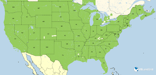
It's been a busy six months as we continue to improve and expand our USA tax parcel data. The USA tax parcel database now includes:
- 159.3 million parcel polygons
- 182.2 million matched addresses
- 180+ million building footprints
- 87.6 million standardized zoning entries
- 90% of counties updated within 12 months and 70% within 6 months
These updates span across 3,227 US counties, covering 99.7% of the US population.
-
July 10, 2025
TEXAS IS TOUGH
Texas is one of the toughest states when it comes to land grid accuracy. Overlapping abstracts, misaligned section lines, and public data that’s off by up to 1,000 feet??
Unfortunately, it’s all too common.
At USLandGrid, we decided enough was enough. We took action to bring clarity, precision, and reliability to the Texas land grid.
▪ Corrected overlapping abstracts
▪ Replaced outdated sources
▪ Created near-survey-grade land grid layers you can trustWhat does that mean for you?
A cleaner, smarter way to plan. Our land grid now:▪ Aligns with roads and infrastructure
▪ Doesn't cut through well pads
▪ Gives you peace of mind in high-stakes projects