sales@uslandgrid.com
 Phone : 877-870-8872


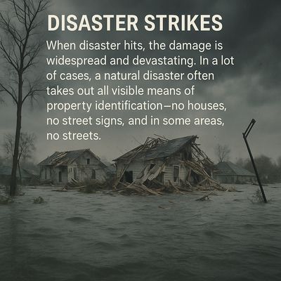
When a natural disaster hits, chaos follows. Streets disappear under water, homes are reduced to rubble, and even familiar landmarks vanish. In moments like these, traditional ways of identifying locations - street signs, addresses, visual markers - are gone.
Yet emergency teams still need to find people - families stranded on rooftops, those needing shelter or evacuation, critical infrastructure that must be restored.
That’s where accurate GIS data becomes essential.
When Disaster Strikes - Data Can Save Lives
At USLandGrid, we provide nationwide, up-to-date parcel and property data that integrates seamlessly into ArcGIS® Pro, ArcGIS® Online, and ArcGIS® Earth. Our datasets are refreshed constantly - most counties every 3-6 months, and over 90% of parcels updated within the past year - ensuring responders work from the most current and precise information available.
Whether you’re a public agency, emergency management organization, or utility provider, our parcel data includes dozens of key attributes per property - boundaries, ownership details, and more - to support disaster response, recovery, and rebuilding efforts.
Because when the map disappears, data becomes the compass.