 sales@uslandgrid.com
 Phone : 877-870-8872


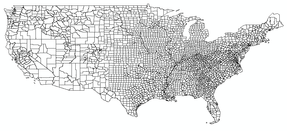
2025 Tax Parcel Database - Mid-Year Review
It's been a busy six months as we continue to improve and expand our USA tax parcel data. The USA tax parcel database now includes:
- 159.3 million parcel polygons
- 182.2 million matched addresses
- 180+ million building footprints
- 87.6 million standardized zoning entries
- 90% of counties updated within 12 months and 70% within 6 months
These updates span across 3,227 US counties, covering 99.7% of the US population.
Over the last six months we have also added Canadian tax parcels. Coverage includes all provinces (minus Alberta for now). This dataset currently include over 10 million parcel polygons and is being updated monthly.
You can find our Parcel Schema here.
More Information
Standardization - Patented data normalization and transformation processes simplify data interaction. The standards in attribution are set at the county level and scale to the national data set.
Matched Addresses - Attributes such as PIN, Address, Secondary Address, and Owner are among the many attributes we clean and transform.
Building Footprints - Both commercial and residential buildings, all records are in polygon form.
Robust ID - Unique record identifier that stays with the parcel across updates.
Formats - GDB, Shapefile, KML, CSV, Excel, GeoJSON, WFS, WMS